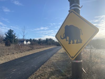
Washington Co., WI – Becoming rather fascinated with the Ice Age Trail. It’s right in the backyard for neighbors in Washington County. Below is a quick video exploring the Cedar Lakes Segment, which is right off County Trunk NN just west of Arthur Road outside Slinger.
Click HERE for the best map of the Ice Age Trail in Wisconsin
Some fun facts about the Ice Age Trail:
- The Ice Age Trail covers over 1,200 miles and runs through 30 counties in Wisconsin.
Click HERE to SUBSCRIBE to FREE local news at
Washington County Insider on YouTube
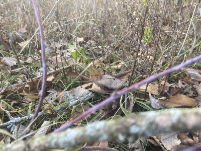
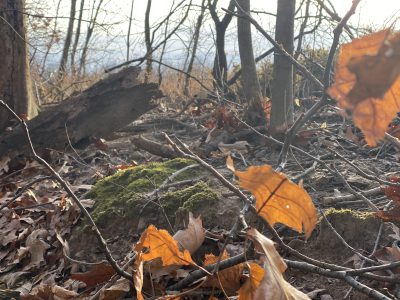
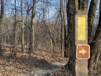
- There are 600 miles of blazed trails, which means they are out of traffic and marked with a yellow slash of paint. Other trail segments are also marked with blue or white paint markings.
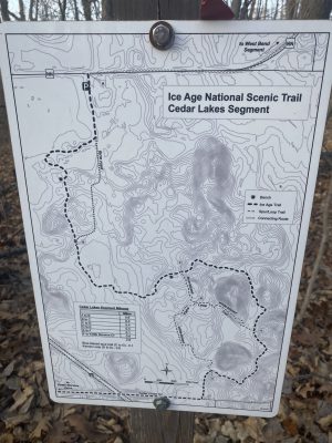
- There are maps along the trails to help you get your bearings. The maps outline the path, provide mile markers, and sometimes a tidbit of history.
- In an effort to ramp up winter fitness, many people take to the trails to enjoy the outdoors, explore, and have adventure.
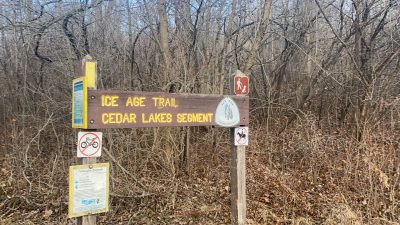
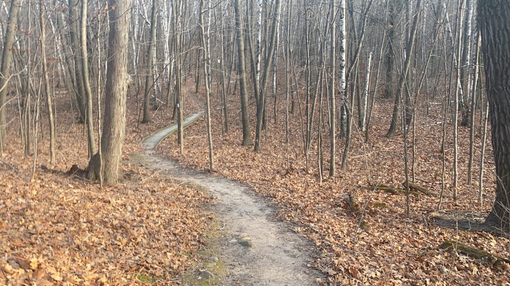
The Cedar Lakes Segment is extremely inviting. The terrain is pretty flat with some moderate climbing after you get through the farmer’s field. The trees in the forest area appear to be out of Disney’s Snow White with leering faces and branches that resemble outstretched arms. In the distance is the sound of the highway and the mournful whistle of one of dozen or so trains that run daily through the Slinger/Allenton area.

Click HERE for more information about the Ice Age Trail. What segment is your favorite, and which one would you recommend we feature next?


